|
Home |
Who Are We |
Finance Companies |
North Dakota Map
156 Ac Mercer Co. Wilson Land For Sale
4775 9th Street SW, Hazen, East Mercer Township, Mercer County, North Dakota
Introducing the Beautiful Wilson Land, 156.6 +/- Acres nestled between Hazen and Stanton, ND 1 Mi South of Hwy. 200 in Mercer County. A Fantastic Opportunity for anyone looking to aquire Acreage along Kinneman Creek with 6 + Freshwater Springs, Scenic Pasture w/Dense Trees, Rolling Hills w/abundance of Native Wildflowers & Grasses, 5 Outbuildings, Submersible Well, 15 + Acres Crop/Hay, Fences & Utilties. This historic Homestead is all Cleaned Up and Ready to Enjoy! Pasture, Ponds & Creek Frontage suppporting excellent Wildlife population of Pheasants, native Whitetail and huge Mule Deer Bucks, Migratory Waterfowl and Upland Game for excellent diverse Hunting opportunities. Perfect Private Building Site - There are currently NO USFW Easements or Ag Leases on this Land. Please enjoy a DRONE VIDEO of this Property! Seller Asking $549.000 or $3,506/ac avg.
*********************************
Legal Description: SW1/4 of Seciton 18, Township 144 North, Range 85 West as described on Abstract with Seller reserving Oil & Gas rights currently owned, if any.
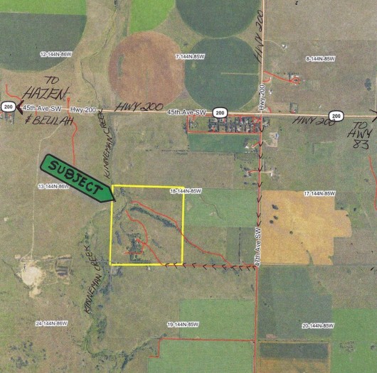
Location: Along Hwy. 200 in Mercer County, From Hazen, ND on Hwy. 200 travel 5 Mi East to 47th Ave SW - or - from Stanton, ND travel 5 Mi West on Hwy. 200 to 47th Ave SW (same road that Hwy. 200 goes N to Pick City).Turn South on 47th Ave SW and Travel 1 Mile to 9th Street and Turn Right or West. This is currently a Minimum Maintenance Road because there is no Home on this Land, and the Road Ends at the West side of this Property. (See Map & Prairie Rose Realty Signs)
Acreage Breakdown:
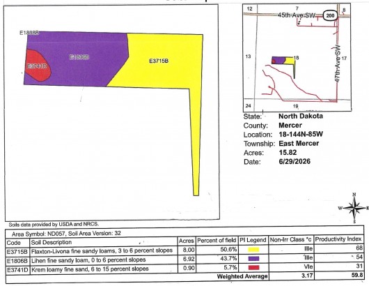
15.82 Acres of Class III Cropland w/59.8 Productivity Index Overall currently planted to Alfalfa/Grass Hayland. Balance is Pasture, Trees, Ponds, Creek & Outbuildings.
Easements: According to our sources, there are currently NO USFW Wetland or Grassland Easements on this Property.
Annual Income: There are currently NO Agriculture Leases on this Land to honor. Good Renters available.
Real Estate Taxes: Most Recent Real Estate Taxes available are $1,456.86 per year on 156.6 Acres or $9.30/ac avg which includes 5% Discount for payment by February 15th. There are currently NO Special Assessments on this Property.
Note: FOR A DRONE VIDEO OF THIS PROPERTY, CLICK HERE!
Improvements: - There are 5 Outbuildings on this Property. These are older decent Buildings, however functional with Electricity and area has been Cleaned Up by the current Owner ready to use As Is. Most all Debris and Unusable Buildings have been removed by Owner and the Beauty of the Land is beholding in it's natural state. Building 5 has a Lounge Area, rest are mostly Storage.
- Perimeter Fences, Fenced Crop & Gate Included. Fences are older and in fair condition. There is an area in the SW Corner of the Land that if fenced out where a Neighbor uses a few Acres. Owner says it was like that when he bought it and didn't see a need to ask the Neighbor to change it. The Land within that Fence is owned by this Property, but used by Neighbor.
- Water Sources: There are 6 Fresh Water Springs throughout the Pastures along with Kinneman Creek and additional Springs where the Creek enters the Property. There is also a Submersible Well with a Pressure Tank by the Outbuildings. Seller has not needed to use this Well.
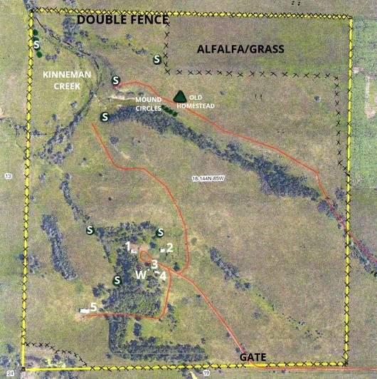
- Please refer to the Aerial Map for Location of the Fresh Water Springs (S), Outbuildings (1-5), Submersible Well (W), Original Homestead Foundation and Mound Circles.
Seller Asking $549.000 or $3,506/ac avg.
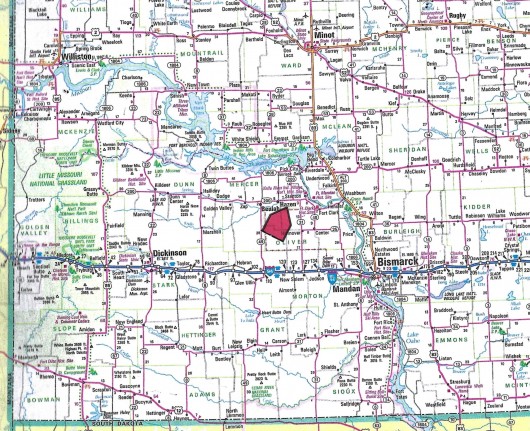
Plat Map; Each Square = 1 Mile
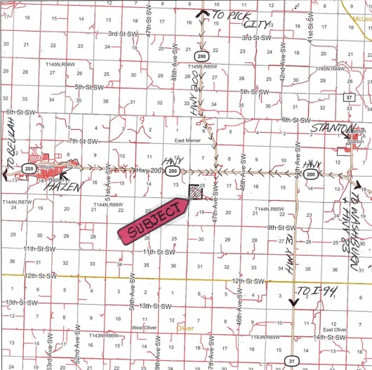
Aerial Map of Section 18, Subject SW1/4 Outlined in Yellow
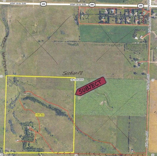
Aerial Map of Subject Land
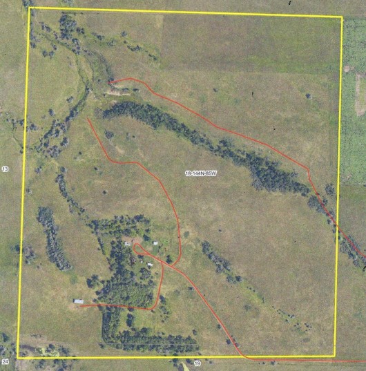
Aerial Map of Subject Showing Improvement Placements
Aerial Map of Surrounding Area Subject Outlined in Yellow
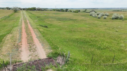
Drone view from the Gate on the SE corner entering Subject Property looking W
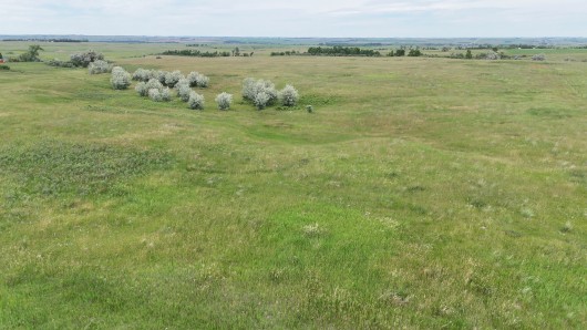
Drone view from the SE corner of Property looking N
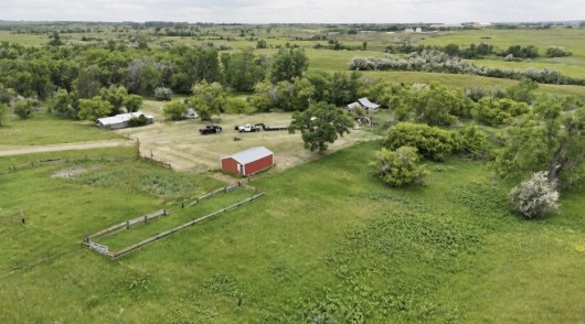
Birds eye view of Farmstead Site w/Outbuildings
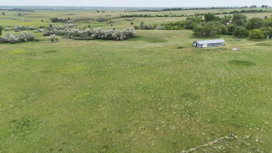
Drone view from the SW corner of Property looking NE & Bldg. 5
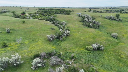
Aerial view from the W side of the Property looking back towards the Building Site
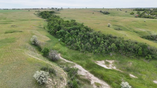
Drone view of Trees from the W side looking E
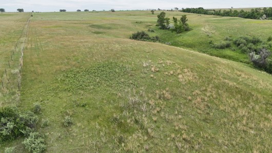
Drone view from the NW corner looking E
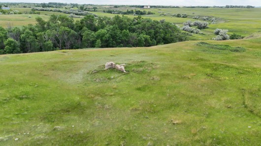
Aerial view of Pioneer Building Site
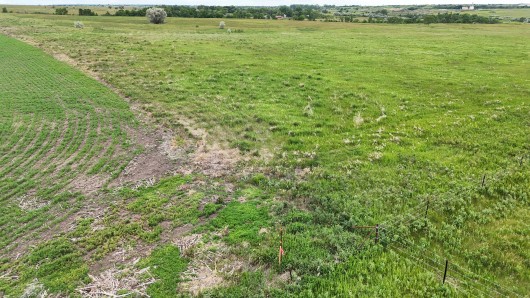
Drone view from the NE corner of Property looking SW
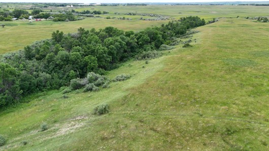
View of Creek/Trees from the E side of Property looking W
Ground Photos of Property:
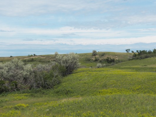
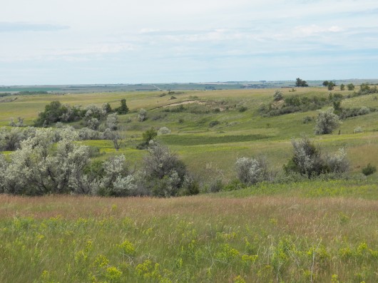
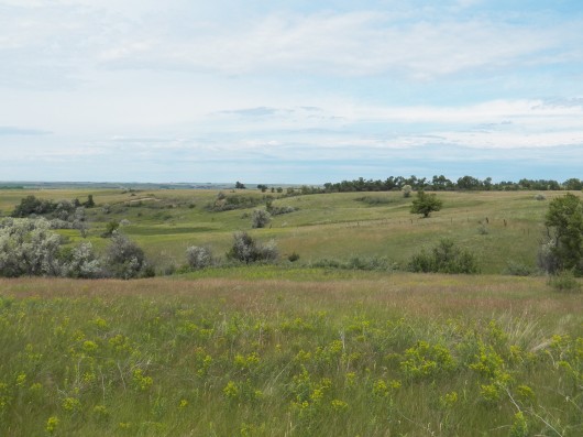
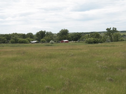
Building Site view from SE corner
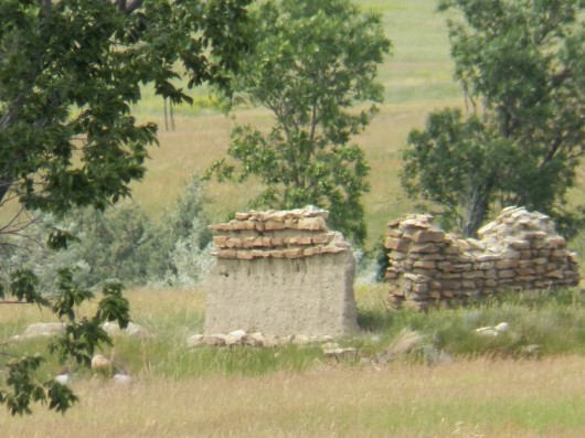
Old Homesite
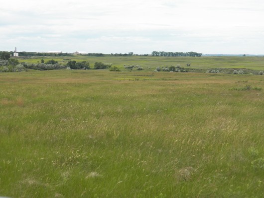
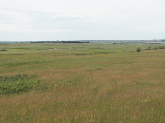
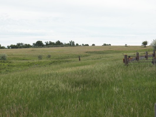
Ground Photos of Farmstead: Showing Building 1
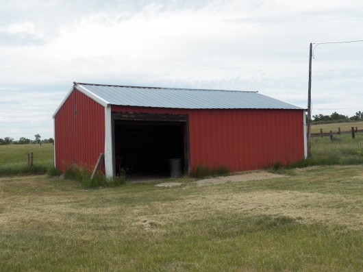
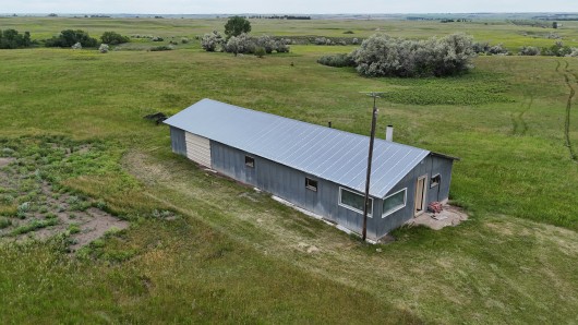
Building 5; Shop w/Lounging Area and Cold Storage
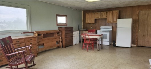
Building 5 Interior Lounge Area
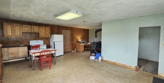
Building 5 Interior Lounge Area, 2nd View
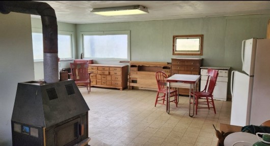
Building 5 Interior Lounge Area - 3rd View
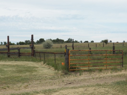
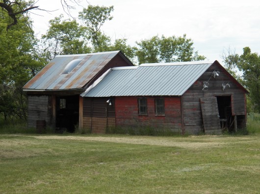
Building 2
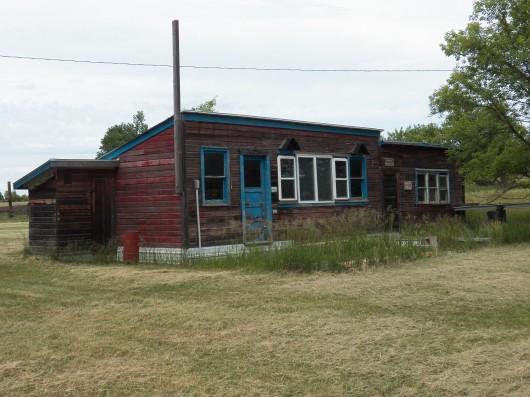
Building 3
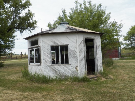
Building 4
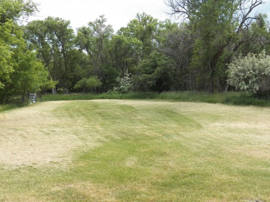
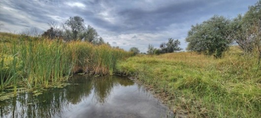
View of Creek Beds winding thru the Property
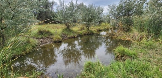
Creek Bed on Property
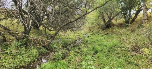
Creek Bed on Property
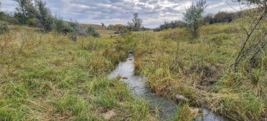
Creek Bed on Property
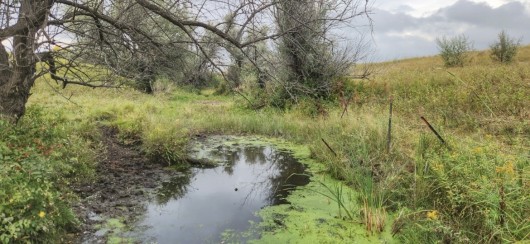
Creek Bed on Property
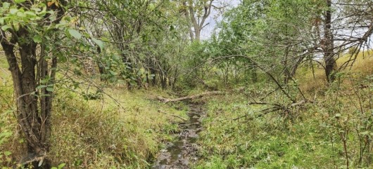
Tree Lined Ravine on Property
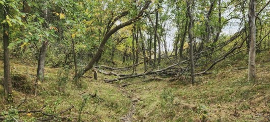
Tree Lined Ravine on Property
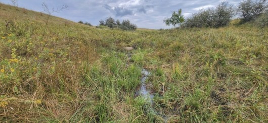
Small Creek on Property
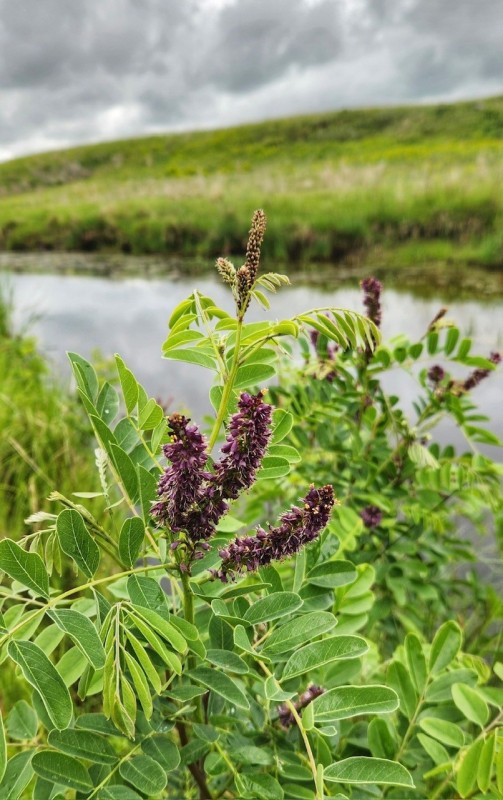
Wildflowers on Property
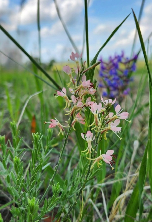
Wildflowers on Property
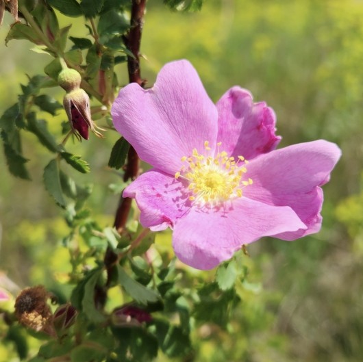
Wildflower - queen of them all; the Prairie Rose
Hillshade Topography Map of Subject
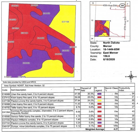
Soil Map & Legend of Overall 156.6 Acres
Soil Map & Legend of Cropland
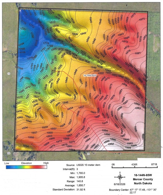
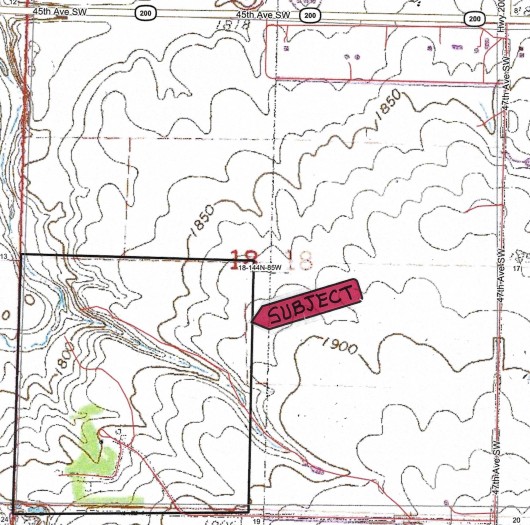
Topography Map w/Subject Outlined in Black
If you are interested in this property, please contact Prairie Rose Realty Inc. at landbroker@bektel.com or call 701-475-2784 or toll free 800-728-7558.
Prairie Rose Realty Inc. is representing the Sellers in this transaction. All information has been gathered from sources considered reliable, however cannot be guaranteed by Prairie Rose Realty Inc.
|