|
Home |
Who Are We |
Finance Companies |
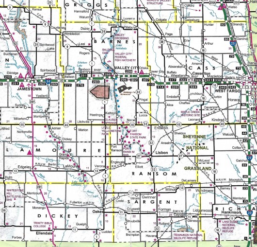
North Dakota Map
153 Ac SW Valley City Land For Sale
Svea Township, Sanborn, Barnes County, North Dakota
Excellent location along paved County Hwy. 11 just south of Exit 281 on Interstate 94, SW of Valley City, this diversified 153 Ac +/- Land offers 60 Acres of Farmland earning $135/ac or $8,100 on Annual Lease, and 95 +/- Ac of Grass previously used as Pasture with an Old Windmill Well and an approach off the Hwy. to the Property for a Building Site option. There is also a Creek w/Fresh Water Spring with Herbaceous Wetlands offering Tremendous Upland Game, Waterfowl and Wildlife Recreation. There are NO USFW Wetland or Grassland Easements on this Land. Seller Asking $418,000 or $2,732/ac avg.
*********************************
Legal Description: SW1/4 Section 11 Less R/W & 4.73 Ac Tract in SW Corner, Township 138 North, Range 60 West as described on Abstract including all minerals currently owned, if any. Sale is subject to new Owner honoring the Ag Lease thru 2025 Season.
Location: From Valley City, ND travel West on I-94 to Exit 281 aka Sanborn Exit, between Jamestown & Valley City. Turn S onto Hwy. 11 and travel 8-1/2 miles to the NW corner of Property. (See Map)
Acreage Breakdown:
60 Acres +/- Cropland Earning $135/acre or $8,100/year. 95 Acres +/- Grass & Wetland previously Pasture.
Easements: There are NO USFW Wetland or Grassland Easements on this Property.
Annual Income: This Property earns $8,100/year or $135/acre on the 60 Acres of Cropland on an Annual Lease. Good Renter is interested in continuing to Lease. The Pasture is not Leased, but has eanring potential as a Pasture with the Fresh Water Spring or as Hayland.
Real Estate Taxes: Most recent Real Estate Taxes available are $936.77/year or $6.12/ac avg.
Note: Please check back for Photos when Weather Permits.
Sellers Asking $418,000 or $2,732/ac avg.
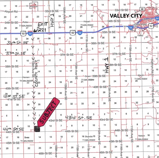
Aerial Map of Subject Land outlined in Yellow
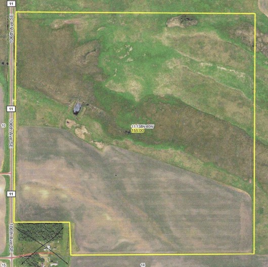
Aerial Map of Full Section 11 w/Subject Outlined in Yellow

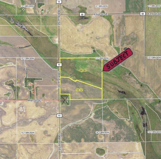
Aerial Map of Subject Outlined in Yellow showing Surrounding Area.
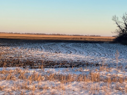
SW Corner of Subject Cropland looking East
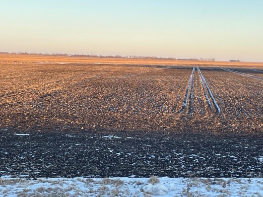
West side of Subject Tilled Acres looking East
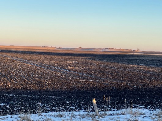
West side along Hwy. of Subject Cropland looking East
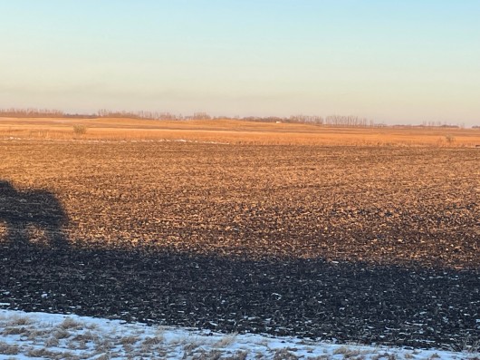
N Edge of Cropland looking East from West side on Hwy. Pasture to Left.
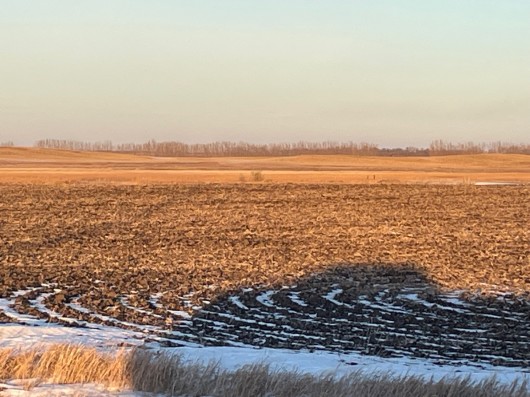
View of Cropland on Subject Land
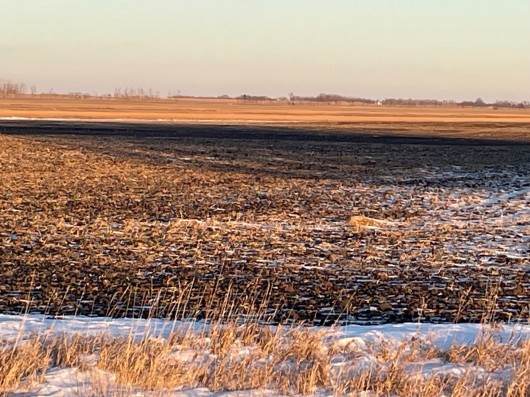
Another view of Cropland on Subject Land
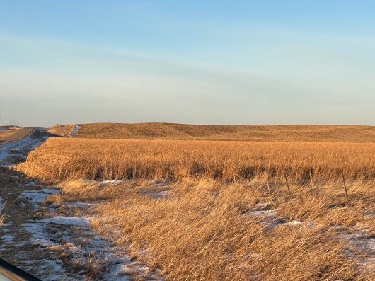
View of Pasture from S end looking N along Hwy.
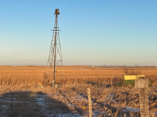
Old Windmill at Hwy. Approach to Subject Pasture

View of Windmill area looking to East
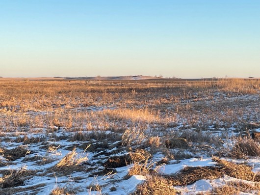
View of Pasture to East on Subject Land

Another view of Pasture
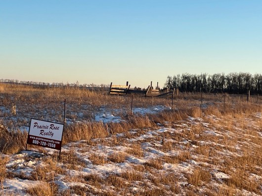
Pasture along Hwy. on Subject Land
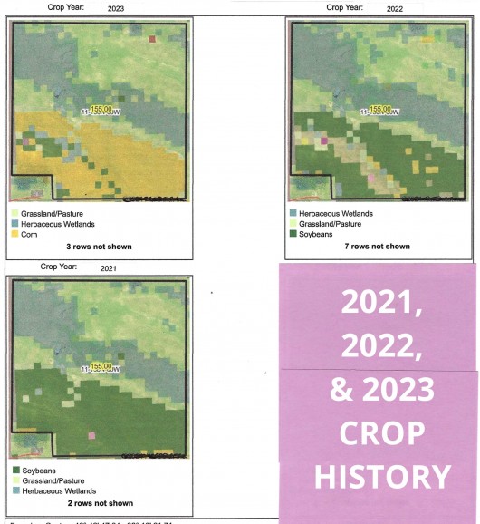
3 Year Crop History for Property
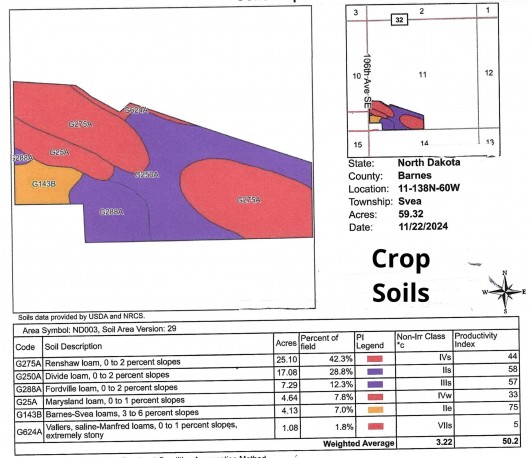
Soil Map & Legend for Cropland
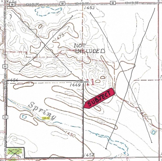
Topgraphy Map of Section 11 w/Subject Outlined in Black SW Corner
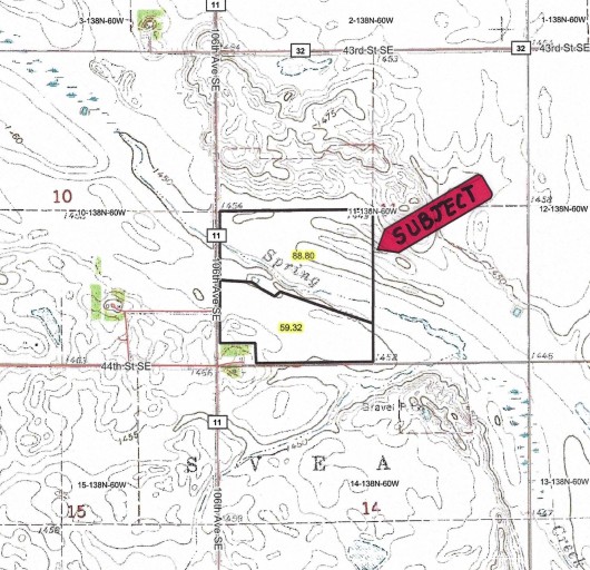
Topography Map showing Surrounding Area. Subject Outlined in Black.
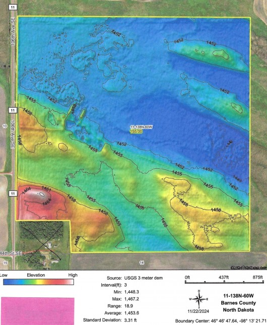
Hillshade Map of Subject showing High & Low Areas
If you are interested in this property, please contact Prairie Rose Realty Inc. at landbroker@bektel.com or call 701-475-2784 or toll free 800-728-7558.
Prairie Rose Realty Inc. is representing the Sellers in this transaction. All information has been gathered from sources considered reliable, however cannot be guaranteed by Prairie Rose Realty Inc.
|
