|
Home |
Who Are We |
Finance Companies |
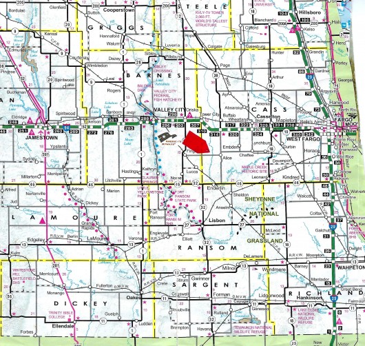
North Dakota Map
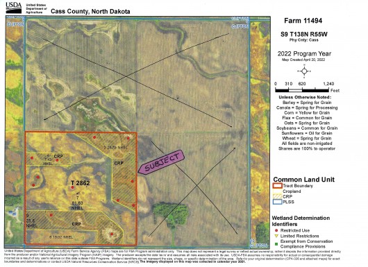
160 Ac Cass Co. ND Farm Land For Sale
Clifton Township, Tower City/Alice, Cass County, North Dakota
Located 35 mi West of Fargo, ND on a good Farm-to-Market Road, 1 mi N of Hwy. 6, just 3 mi W of Alice, ND this 160 Acres wi/153.47 Acres of NHEL Highly Productive Class II & III Cropland earning a great Income of $16,491.50/year with Soils showing an overall avg. 66.8 Productivity Index. 91.45 Acres are Leased to a good Renter at $110/acre or $10,059.50/year thru '24 Season and the 62.02 Ac of Lowland/Wetlands are enrolled in CRP earning $101.97/ac or $6,342/year thru 2030. A Sound Investment at a Good Price in an Excellent Area, with Exceptional Hunting as a Bonus. Seller Asking $549,700 or $3,436/ac avg.
*********************************
Legal Description: SW1/4 Section 9, Township 138 North, Range 55 West, Cass County, North Dakota as described on Abstract, with Sale Subject to buyers honoring Farm Lease and CRP Contract thru expiration.
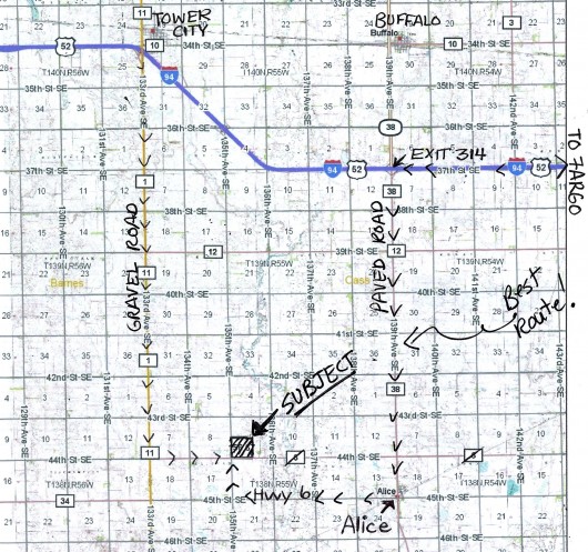
Location: From Fargo, ND travel West 34 mi on Interstate 94 to Buffalo/Alice Exit 314. Turn S on Hwy. 38 and travel to Alice, ND and Junction of Hwy. 38 and 6. Turn W on Hwy. 6 and travel 4 mi to 135th Ave SE. Turn N and travel 1 mi to SW corner of Subject Land. (Notice alot of the Maps have Hwy. 6 marked one mi N of Alice which is incorrect.) - or - Traveling East from Western North Dakota areas on I-94, turn South at Tower City, Exit 307. This is a good Farm-to-Market gravel road. Continue S to Hwy. 6 and then East 2 mi to 135th Ave. SE, and i mi N to SW corner of Subject Land. You may turn E on 44th St. SE but this is a Minimum Maintenance Road. (See Map)
Acreage Breakdown:
91.45 Acres Tilled Cropland. 62.02 Acres Cropland/Wetland enrolled in the Conservation Reserve Program. Balance 6.53 Acres includes 3 Ac of Trees, Road, Ditches & Other
Easements: There are NO USFW Grassland Easements or PLOTS programs on this Land. However there IS a USFW Wetland Easement which is a perpetual easement paid at the beginning of the contract that does not interfere with building, livestock or agriculture use, but does restrict burning, leveling, filling, or draining of Wetlands in place without permission.
Annual Income: 91.45 Acres Cropland leased at $110/ac or $10,059/year thru 2024 w/Annual Payment by March 1st62.02 Acres Cropland/Wetland enrolled in the Conservation Reserve Program aka CRP earning $101.97/ac or $6,342/year thru 2030. CRP requires land to be farmed a minimum of 2 years prior to enrollment. Sale is subject to new owner honoring this program or responsible for removal. This is CP4D Practice.Total Annual Income $16,491.50
Real Estate Taxes: Most Recent Real Estate Taxes available are $1,063.79/year or avg. $6.65/ac which includes 5% discount for payment by February 15th. There are NO Special Assessments.
Note: FOR A DRONE VIDEO OF THIS PROPERTY, CLICK HERE.
Seller Asking $549,700 or $3,436/ac avg.
Aerial Map of Subject Land Outlined in Red
Drone View from the NW corner looking S
.jpg)
Drone View from the NW corner looking E
.jpg)
Drone View from the NE corner looking W
.jpg)
Drone View from the NE corner looking S
.jpg)
Drone View of the planted Tree Rows
.jpg)
Drone View from the SE corner looking N
.jpg)
Drone View from the SE corner looking W
.jpg)
Drone View from the SW corner looking E
.jpg)
Drone View from the SW corner looking N
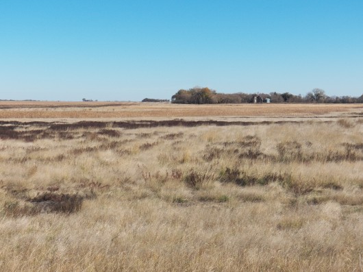
NW corner of Subject looking SE at Cropland & CRP
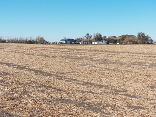
Northwest corner of Subject looking South
View of NW Corner of Subject Land
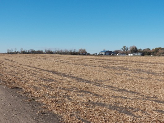
From NW of Subject looking East
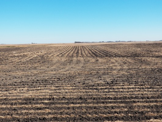
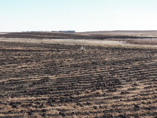
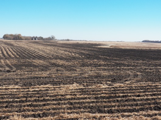
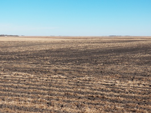
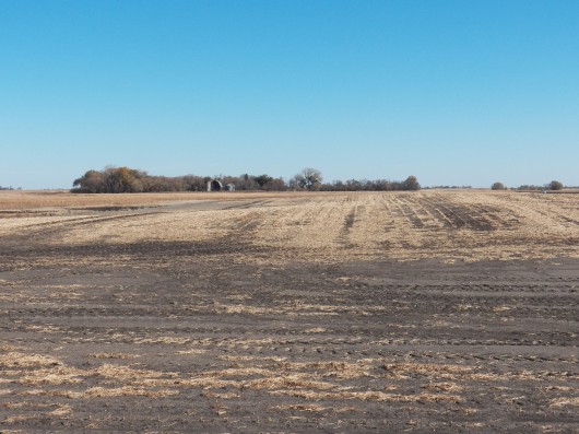
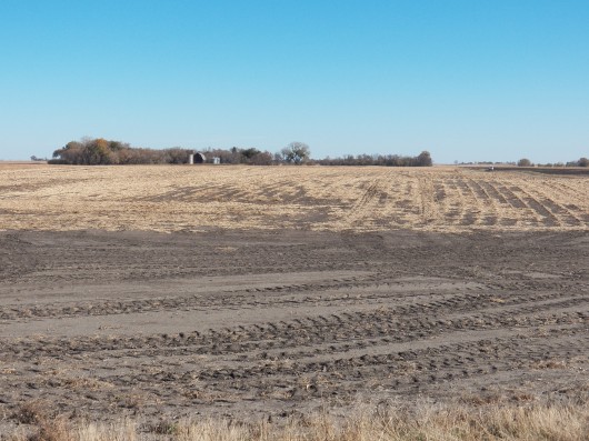
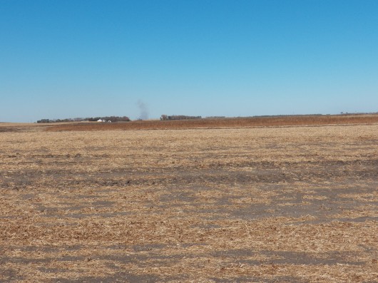
West side of Land looking East, Fall Tilled
West side of Land looking East, Fall Tilled
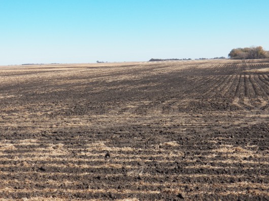
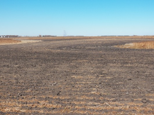
Fall Tilled West to East on Subject
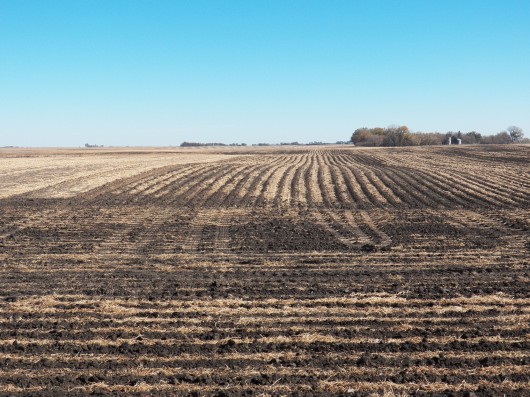
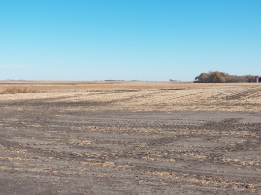
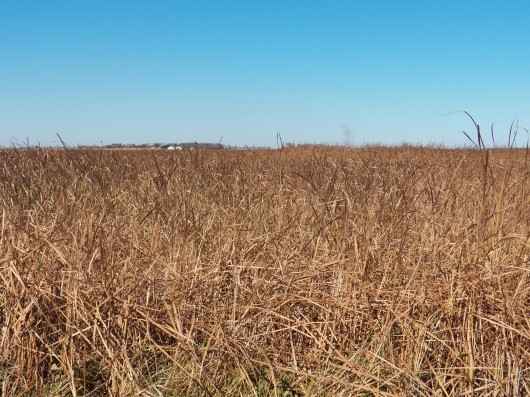
View of Subject CRP from W to E
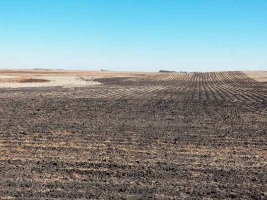
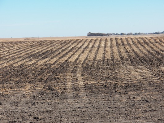
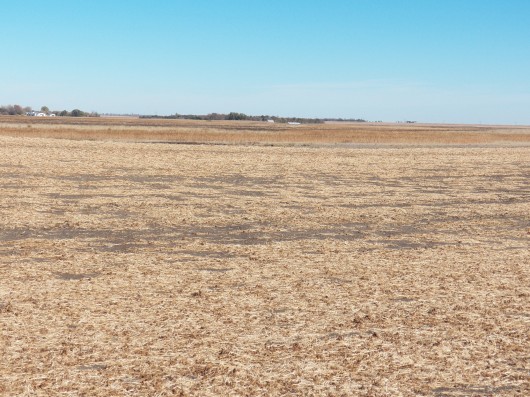
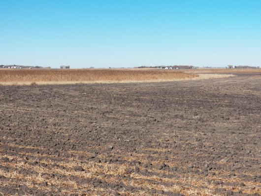
West to East Fall Tilled and CRP
Fall Tilled and CRP
Another view W to E Fall Tilled & CRP
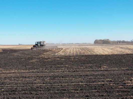
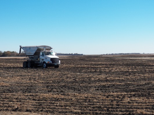
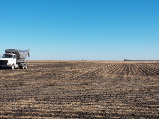
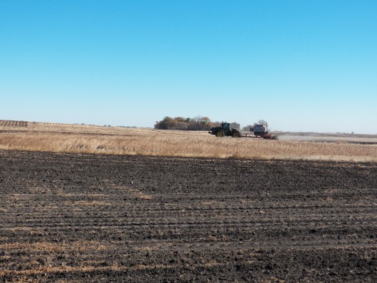
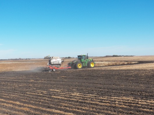
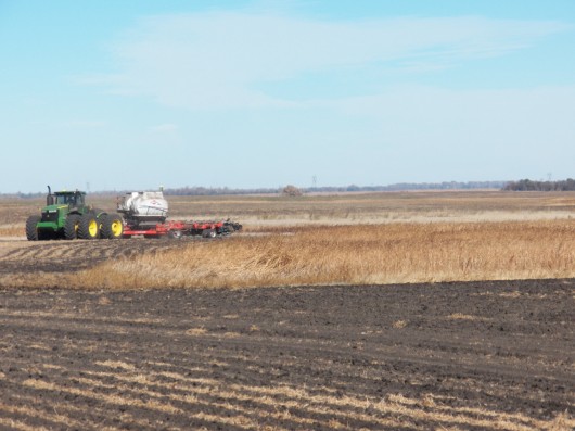
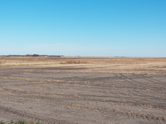
Renter working West Cropland
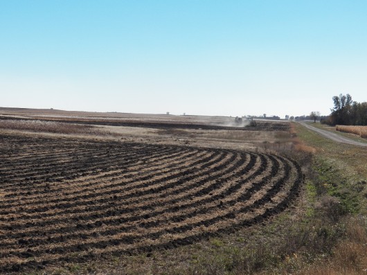
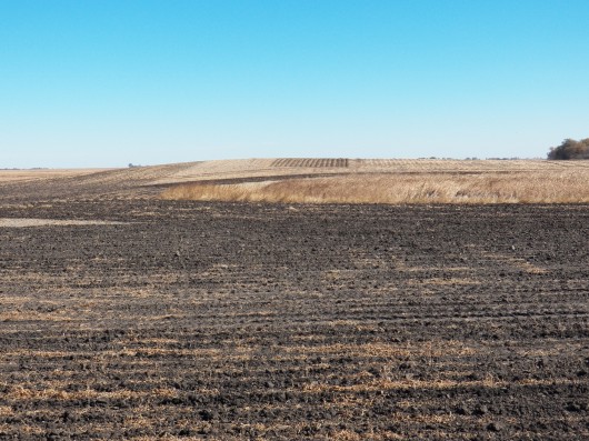
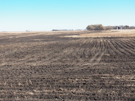
SW area of Subject looking E/NE
SW area of Subject to E Crop, Fall Tilled
SW corner of Subject looking NE
Another SW to NE view of Cropland & CRP
SW corner of Subject looking NE
SW corner of Subject looking E/NE
SW corner of Subject looking East
SW corner looking East at CRP
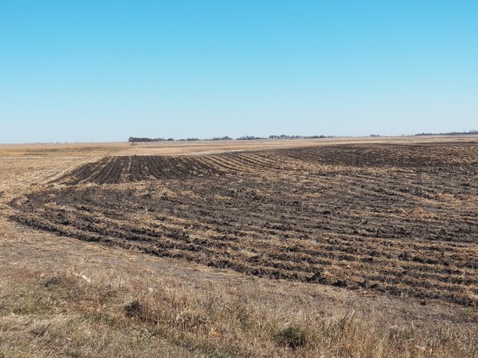
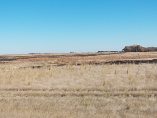
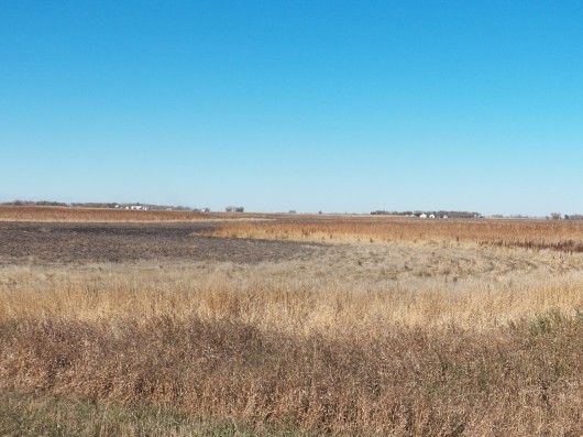
Low Cropland on S side enrolled in CRP
Cropland & CRP on South side of Subject
Harvested Crops & CRP land on South side
South side of Subject looking North
Harvested Crops SW looking East
Harvested Crops from South side looking North
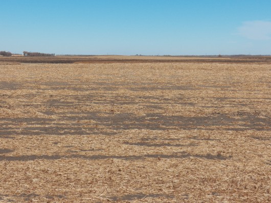
Harvested Crops from South side looking North
Harvested Crops from South side looking North
View from SE looking West/NW
SE corner looking West
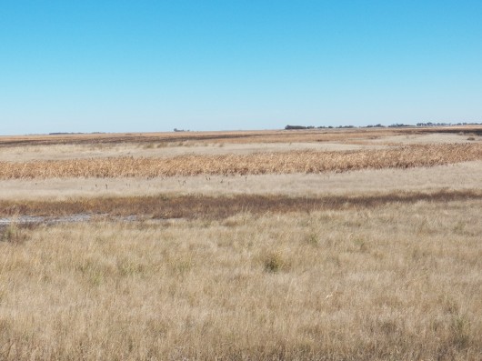
Wetland/Marsh in CRP on South side
Cropland & CRP Wetlands
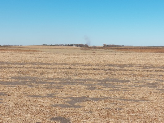
Harvested Cropland on South side
Cropland and CRP Land on Subject
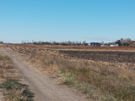
SE corner looking West along good Prairie Trail
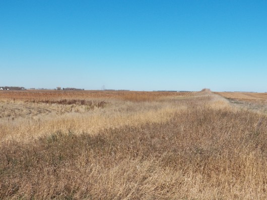
SE corner of Subject looking North at CRP Land
SE to NW CRP & Tilled Acres, all Income Earning!
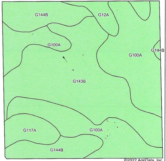
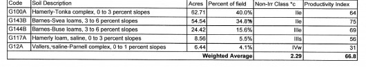
Soil Map & Legend for Subject Land
Hillshade Topography Map of Subject Land with Legend
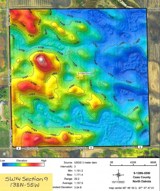
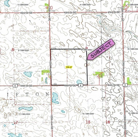
Topography Map of Subject Land Outlined in Black
If you are interested in this property, please contact Prairie Rose Realty Inc. at landbroker@bektel.com or call 701-475-2784 or toll free 800-728-7558.
Prairie Rose Realty Inc. is representing the Sellers in this transaction. All information has been gathered from sources considered reliable, however cannot be guaranteed by Prairie Rose Realty Inc.
|