|
Home |
Who Are We |
Finance Companies |
North Dakota Map
160 Ac Prime Minot Farm Land For Sale
Sawyer Township, Sawyer, Ward County, North Dakota
Located just off Hwy. 52, SE of Minot ND, just before Sawyer, now Available 160 Acres +/- in 2 Contiguous 80 Ac Parcels of Highly Productive NHEL Cropland with 156 Tillable Acres w/85 Productivity Index OA Class II Soils, predominantly 87 PI on 120 Acres! The Soybeans have been Harvested for 2024 and it is Ready to Plant for 2025 Season. There are Good Renters available for a new Lease on this Sound Investment. One of the Prettiest Areas in North Dakota as a Bonus offering Tremendous Recreation for Outdoors Enthusiasts. Please enjoy the DRONE VIDEO of this Land! Sellers Asking $780,000 or $4,875/ac avg.
*********************************
Legal Description: S1/2 SW1/4 of Section 17 and N1/2 NW1/4 of Section 20, both contiguous in Township 153 North, Range 81 West, Ward County as described on Abstract(s) with Sellers reserving Minerals currenlty Owned, if any.
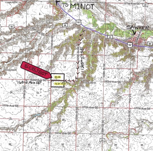
Location: From Minot, ND and Hwy. 2 Bypass, travel SE on Hwy. 52 approx. 8 Mi to 125th Street SE. Turn S and follow the Gravel Road 2 Mi to the curve West onto 163rd Ave. SE. Travel 1/2 Mi to the center of the two 80 Acre Parcels. (See Map)
Acreage Breakdown:
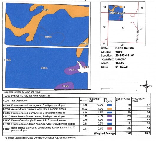
80.06 Acres Tilled Cropland in Section 17 and 75.91 Acres Tilled Cropland in Section 20. See Soil Map and Legend for 119.42 Acres of Class II Soils w/87 Productivity Index and overall Productivity Index of 84.7
Easements: There are NO USFW Wetland or Grassland Easements on this Land.
Annual Income: There are currently NO AG Leases to Honor on this Property and it is READY TO FARM IN 2025, however there are Good Renters available.
Real Estate Taxes: Most Recent Real Estate Taxes are $1,300.54/year or $8.13/Acre per Year. There is a 5% Discount if Taxes are Paid by February 15th. There are NO Special Assessments on this Property.
Note: FOR A VIDEO OF THIS PROPERTY, CILCK HERE.
Sellers Asking $780,000 or $4,875/ac avg.
SALE PENDING!
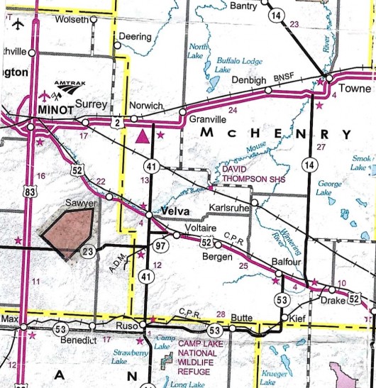
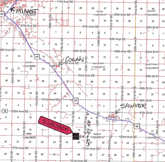
Aerial Map w/Subject Outlined in Black showing Surrounding Area
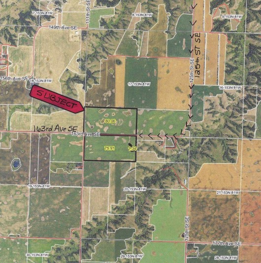
Aeral Map of Contiguous Parcels Outline in Black
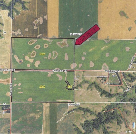
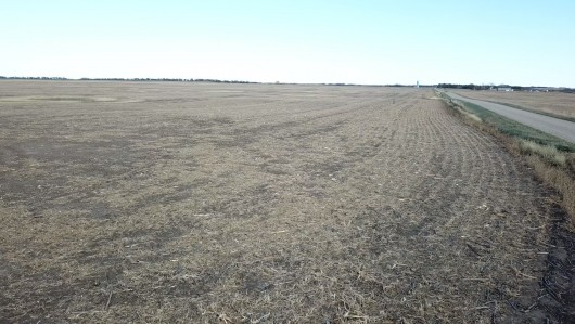
Drone View from the SW corner of Section 17 looking NE
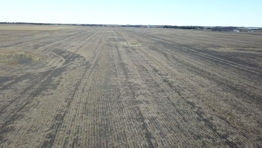
Drone View from the NW corner of Subject Property in Sec. 17 looking E
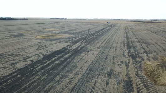
Birds-eyed View from the NE Corner of Subject in Sec. 17 looking SW
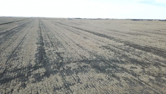
Drone View from SE Corner of Subject in Sec. 17 looking W
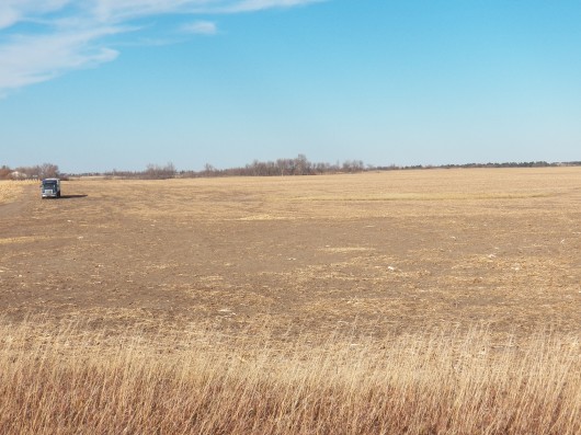
SW Corner of Subject in Sec. 17 looking NE
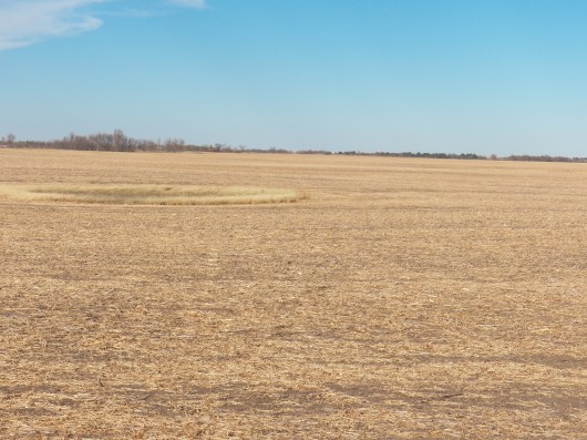
View from the S side of the Subject in Sec. 17 looking N
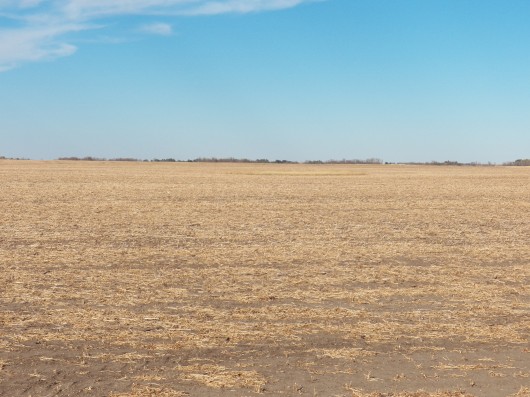
Another view from the S side of the Subject in Sec. 17 looking N
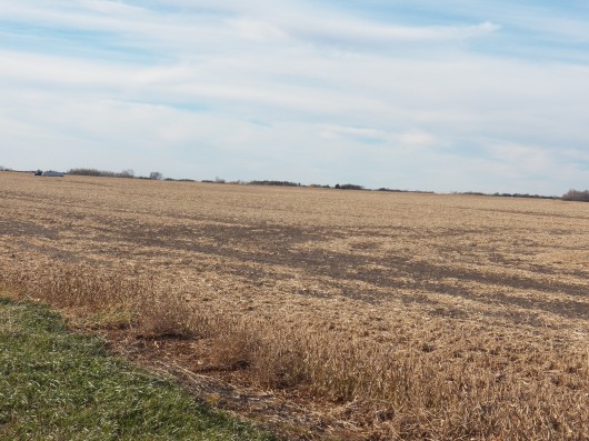
View from the SE Corner of the Parcel in Sec. 17 looking NW
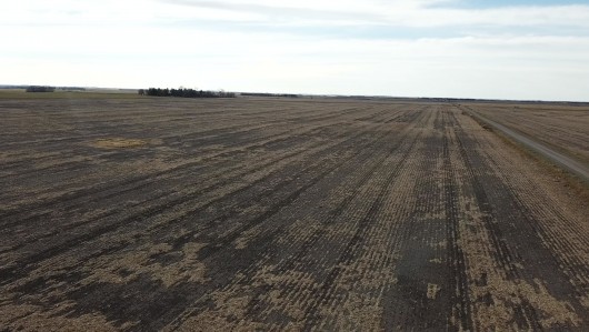
Drone View from the NE Corner of the Subject Property in Section 20 looking W
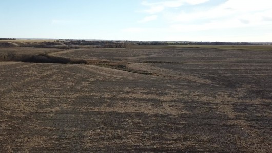
Another Drone view from the NE Corner of the Subject in Sec. 20 looking S
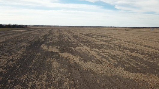
Birds-eye View from the SE Corner of the Subject in Sec. 20 looking W
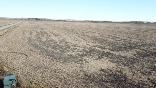
Drone View from the NW Corner of the Property in Sec. 20 looking E
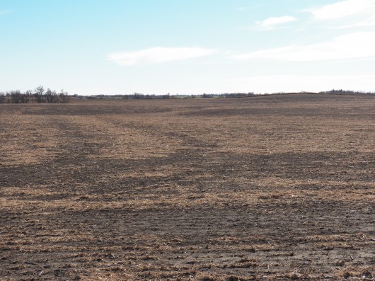
View from the NE Corner of Property in Sec. 20 looking S
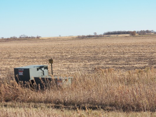
View from the NW Corner of Property in Sec. 20 looking SE
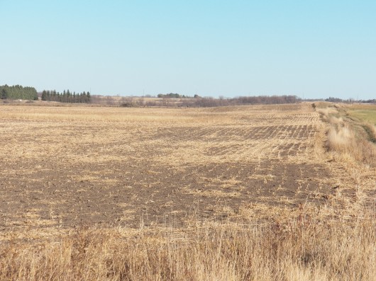
View from the SW Corner of the Property in Sec. 20 looking E
Soil Map & Legend of Subject Land
Topography Map of Subject Outlined in Black showing Surrounding Area
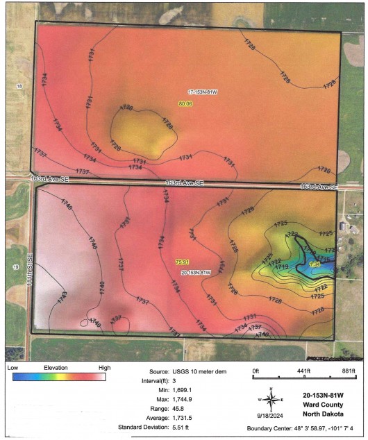
Hillshade Topography Map of Subject Land
If you are interested in this property, please contact Prairie Rose Realty Inc. at landbroker@bektel.com or call 701-475-2784 or toll free 800-728-7558.
Prairie Rose Realty Inc. is representing the Sellers in this transaction. All information has been gathered from sources considered reliable, however cannot be guaranteed by Prairie Rose Realty Inc.
|
