|
Home |
Who Are We |
Finance Companies |
North Dakota Map
40 Ac Mercer Building Site Land For Sale
Holmes Township, Mercer, Sheridan County, North Dakota
This private 40 Acre Parcel of Land has it All! Good Access on 2 Sides, a Grove of Mature Trees, a privately Owned Duck Pond, with an old Grain Bin & Concrete Parking Pad. Located N of Pickardville, ND between Mercer and McClusky, surrounded by Cherry Lake, Alkali Lake, Postel Lake & Pelican Lake. A perfect place to Build or a Personal Retreat. Seller Asking $120,000 or $3,000/ac avg.
*********************************
Legal Description: NW1/4 NW1/4 Section 15, Township 148 North, Range 78 West, Sheridan County as described on abstract including all Minerals currently owned, if any.
Location: From Mercer, ND travel East on Hwy. 200 to Pickardville or from McClusky, ND travel West on Hwy. 200 to Pickardville. At Pickardville, turn N on 2nd Avenue NW and travel 9 miles to 13th St. NE. Turn W for 1 mile, then travel N on 3rd Avenue NW for 3-3/4 Mi to the SW Corner of the Subject Land - or 4 Mi to the NW Corner of the Subject Land. Property is 1/4 Mile X 1/4 Mile Square. (See Map. Please note that 16th Street NW off of the paved road N of Mercer is under water by Alkali Lake.)
Easements: There are NO USFW Grassland Easements on this Land. However there IS a USFW Wetland Easement that the Sale is Subject to the new Owner honoring. This Easement is perpetual and does not interfere with the Quiet Enjoyment of the PMost roperty or Agriculture, but it Restricts the Burning, Leveling, Draining or Filling of the Wetlands without permission from USFW to protect Nesting and Waterfowl.
Annual Income: There are NO Ag Leases or Other on this Land.
Real Estate Taxes: Most Recent Real Estate Taxes Available are $150.12/year which includes the 5% Discount for Payment by February 15th.
Well Information: Seller sayss there is a Well that is capped off by the old house foundation remains. This is North of the Concrete Parking Pad. Seller says there is nothing recorded about a Well being there, but there is evidence of one being there in the past. He is not aware if it is salvagable or not.
Seller Asking $120,000 or $3,000/ac avg.


Aerial Map of Subject Property outlined in Yellow


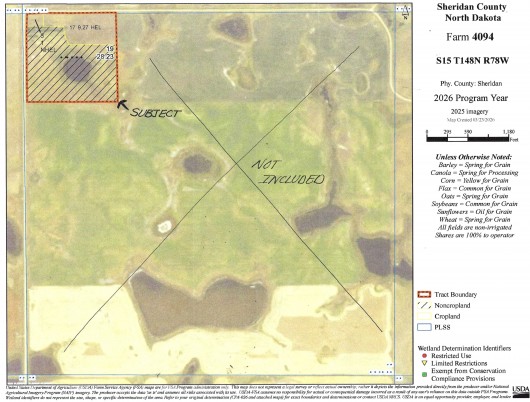
FSA Aerial Map of Section w/Subject in NW Corner Outlined in Red

Drone view from the NW corner of Subject Property looking S

Another Drone view from the NW corner looking E

Birds eye view from the Approach on the W side looking E

Drone view from the SW corner looking N

Another Drone view from the SW corner looking E

Drone view from the SE corner of Property looking NW

Drone view from the NE corner looking S

Another Drone view from the NE corner looking W

View from the NW corner looking SE

View from the NE corner of Property looking S

Looking E from the W side approach

Another view from the W side Approach looking SE

View from the SW corner looking E
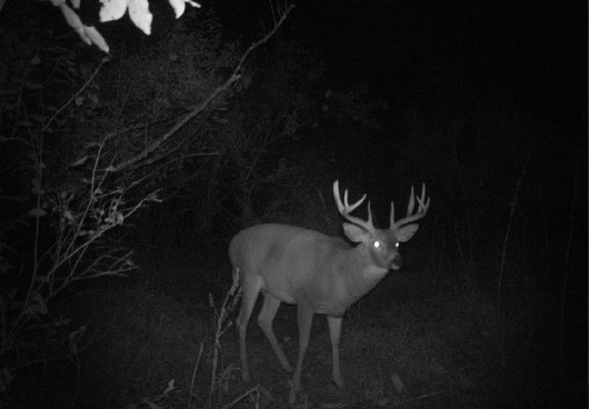
Deer Cam Photo on this Land
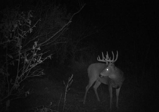
Deer Cam photo on this Land
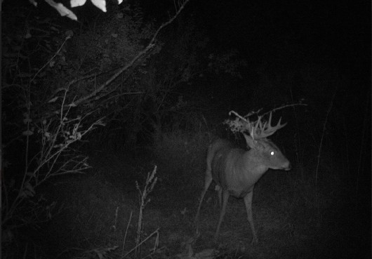
Deer Cam photo on this Land
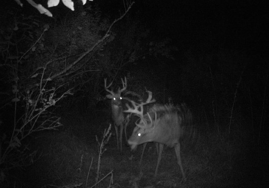
Deer Cam photo on this Land
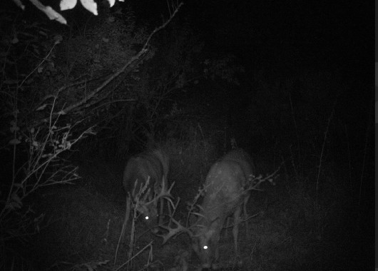
Deer Cam photo on this Land

.jpg)
Hillshade & Topography Map

Soil Map & Legend

If you are interested in this property, please contact Prairie Rose Realty Inc. at landbroker@bektel.com or call 701-475-2784 or toll free 800-728-7558.
Prairie Rose Realty Inc. is representing the Sellers in this transaction. All information has been gathered from sources considered reliable, however cannot be guaranteed by Prairie Rose Realty Inc.
|