|
Home |
Who Are We |
Finance Companies |
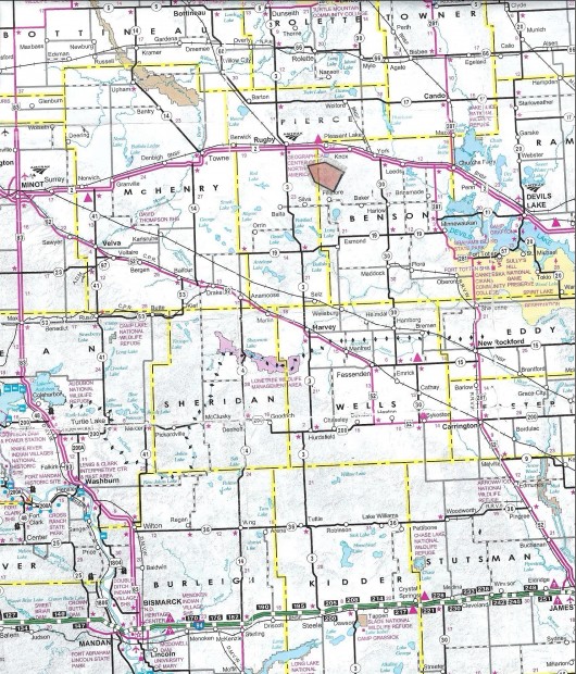
North Dakota Map
560 Ac Pierce Co. Farm Land For Sale
Meyer & Reno Valley Township, Rugby, Pierce County, North Dakota
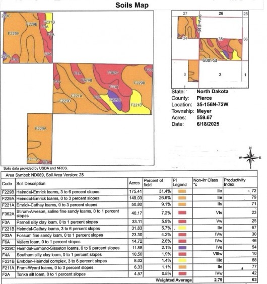
All Contiguous, this Premier Property offered by the Bullock Family is located 5 Miles SE of Rugby, ND - the Center of North America, as the crow flies with Good Access off Hwy. 3 and Hwy 2, on a Farm-to-Market Road offering a Total of 560 Acres +/- that can split to 480 Acres and 80 Acres selling separately. The 80 Acres offers 70 Tillable Acres of Class II Soils at 78 PI for $340,000 or $4,250/ac avg. The 480 Acres offers 340 Acres of Class II & III Soils at 70 PI and 140 Acres of Pasture, Trees, Wetland and an Older Building Site w/Shop, smaller Grain Bins & Trees for an Asking price of $1,553,000 or $3,235/ac avg. Both Parcels are leased for 2025 Season.
*********************************
Legal Description: 80 Acre Parcel is described as the SE1/4 NE1/4, Lot 1 of Section 3-T155N-R72W aka Reno Valley Township, as described on Abstract. 480 Acre Parcel is described as the NE1/4 of Section 34 and the SW1/4 Less Outlot 434 and Outlot 434 in SW1/4 of Section 35 all in T156N-R72W aka Meyer Township as described on Abstracts. Both Parcels are Subject to new Owners honoring the 2025 Ag Leases with Sellers reserving all of the Oil & Gas Minerals currently owned, if any.
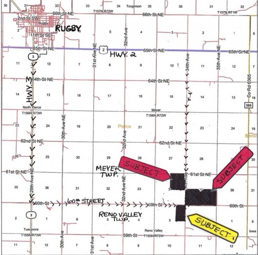
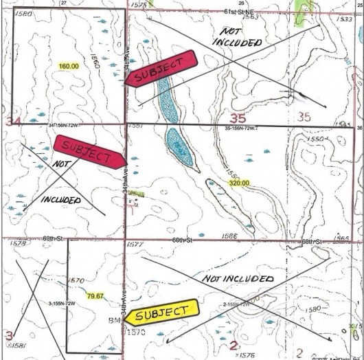
Location: Best Access is from the Junction of Hwy's. 2 and 3 at Rugby, ND, travel South on Hwy. 3 to 60th Street. Turn East and travel 4-3/4 Miles to the NW corner of the 80 Ac Parcel in Reno Valley Twp. (See Map) Continue 1/4 Mile to the crossroads of 60th Street & 34th Avenue and the SW corner of the Half Section belonging to the 480 Acres. Travel North 1/2 mile to the SE corner of the 160 Acre Quarter belonging to the 480 Acres. (See Plat Map Below) - or - From Rugby, ND at the Junction of Hwy's. 2 & 3, travel East on Hwy. 2 for 5 Miles to 34th Avenue. Turn South and travel 4 Miles to the NE corner of the 480 Ac Subject Land. Please note 1 mile South of Hwy. 2 the road narrows allowing only one vehichle to pass by the water. (See Plat Map Below) PLEASE NOTE: The Building Site is Leased for 2025 with Renters Private Property on Premise. Renter has the Site Posted NO Trespassing and requests buyers please view from the Road and/or Photos and respect Renter's Privacy.
Acreage Breakdown:
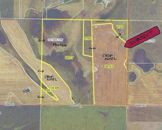
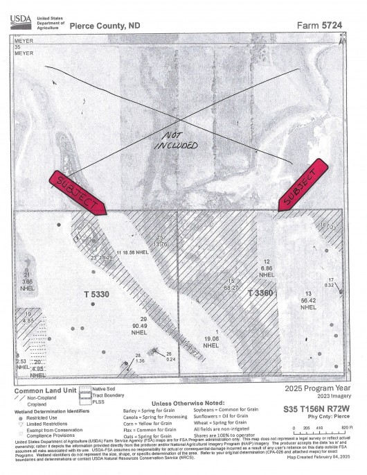
SE1/4 NE1/4, Lot 1 Section 3-T155N-R72W; 79.67 Acres with 70.2 Acres Tillable Cropland. NE1/4 Section 34 & S1/2 Section 35-T156N-R72W; 480 Acres with 340.73 Acres Tillable Cropland and 135 +/- Acres Pasture, Hayland, Trees & Wetlands, 5 Acres +/- Building Site w/Trees.
Easements: There are NO USFW Wetland or Grassland Easements on 80 Acres in Reno Valley Township. There is NO USFW Grassland Easement on the 480 Acres in Meyer Township, however there IS a USFW Wetland Easement on the 480 Acres which does not interferre with Ag Production, however restricts the burning, draining, leveling or filling of Wetlands without permission. This is a Perpetual Easement and Sale is Subject to new Owner honoring this Easement and Easements of Record.
Annual Income: Sale is Subject to new Owner honoring Ag Leases on the Cropland, Pasture and Building Site to good Renters. 2025 is the final year of the Leases available for renewal if new Owner chooses. Leases will be Addendums to Purchase Agreement(s) and 2025 Income split is negotiable with taxes following the rent. Leases will be available upon request.
Real Estate Taxes: Most Recent Real Estate Taxes Available for SE1/4 NE1/4, Lot 1 Section 3-T155N-R72W consisting of 79.67 Acres are $747.64/year or $9.38/ac avg. which includes 5% Discount for payment by February 15th. There are NO Special Assessments on this Property. Most Recent Real Estate Taxes Available for NE1/4 Section 34-T156N-R72W consisting of 160 Acres are $1,232.09/year or $7.70/ac avg which includes 5% Discount for payment by February 15th. There are NO Special Assessments on this Property. Most Recent Real Estate Taxes Available for the SW1/4 of Section 34 including Outlot 434 consisting of 160 Acres are $1,108.36/year or $6.93/ac avg which includes 5% Discount for payment by February 15th. There are NO Special Assessments on this Property.
Note: PLEASE NOTE: The Building Site is Leased for 2025 with Renters Private Property on Premise. Renter has Site Posted NO Trespassing and Requests buyers please view from the Road and/or Photos and respect Renter's Privacy. FSA-156EZ Form is available upon request for Review by Qualified Buyers.
Seller's Asking: $340,000 for 80 Acres or $4,250/ac avg. Seller's Asking: $1,553,000 for 480 Acres or $3,235/ac avg.
Plat Map Showing Both 80 Ac Parcel & 480 Ac Parcel
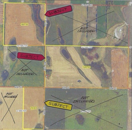
Aerial Map of Full 560 Acres (Red Arrows; 480 Ac, Yellow Arrow; 80 Ac)
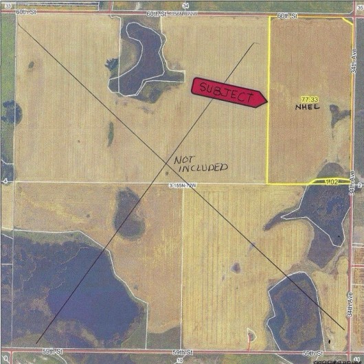
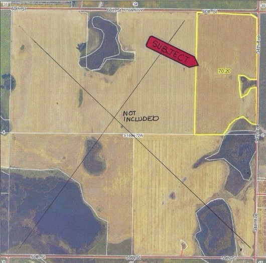
Aerial Map 80 Ac Reno Valley Twp.
Aerial Map 80 Ac Parcel w/Tillable Outlined in Yellow
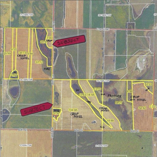
Aerial Map 480 Ac Outlined in Yellow
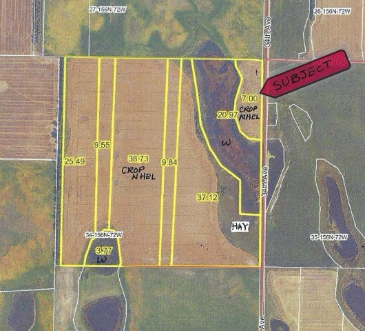
Aerial Map NE1/4 Section 34 Outlined in Yellow
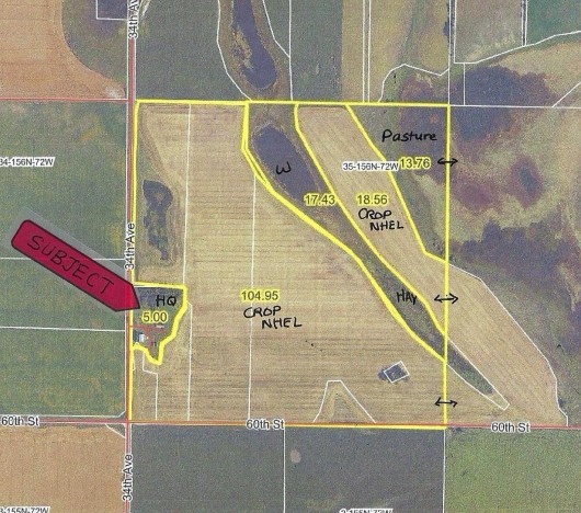
Aerial Map SW1/4 Section 35 Outlined in Yellow
Aerial Map SE1/4 Section 35 - Outlined in Yellow
FSA Aerial Map 80 Acres in Section 3
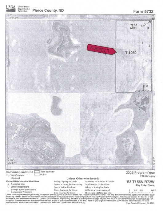
FSA Aerial Map 160 Ac NE1/4 Section 34 of 480 Acres
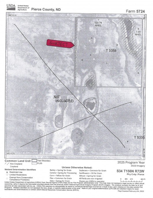
FSA Aerial Map 320 Ac S1/2 Section 35 of 480 Acres
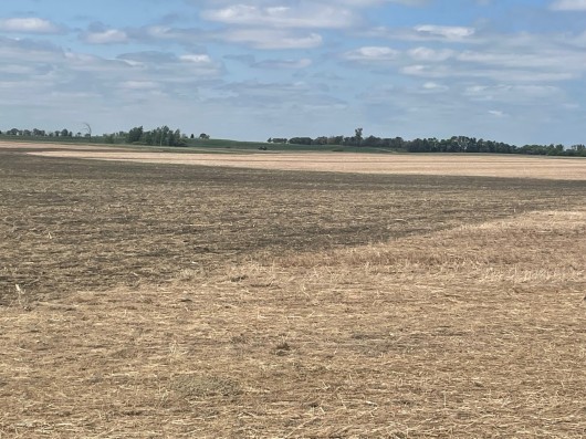
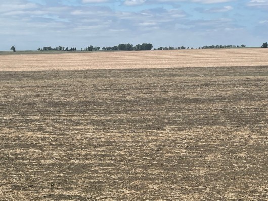
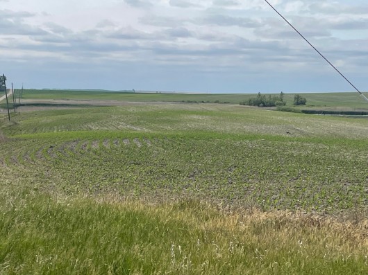
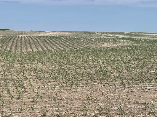
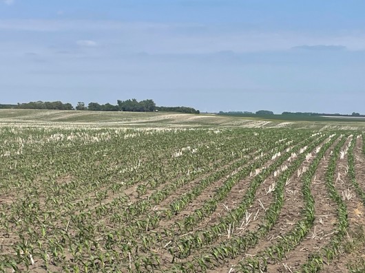
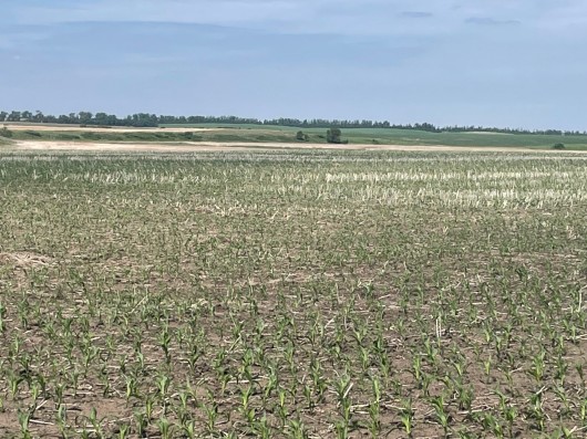
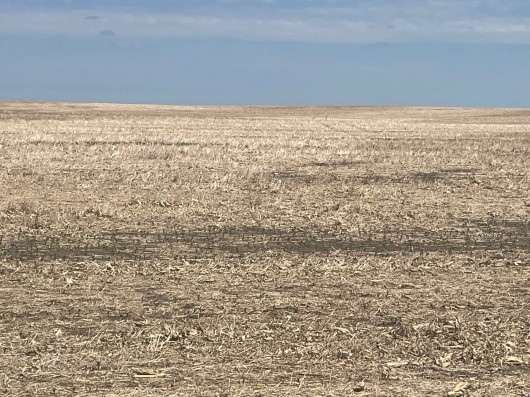
BULLOCK 80 ACRE PARCEL
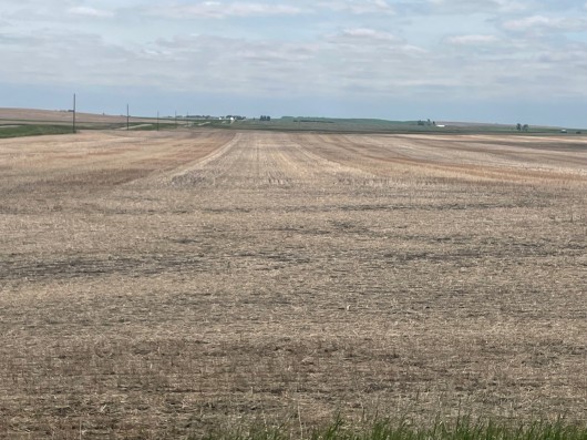
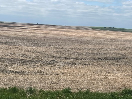
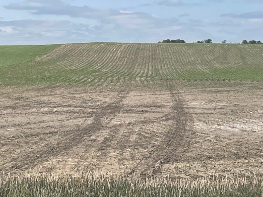
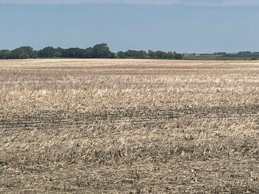
80 Ac Parcel from North side looking South/Southwest
80 Ac Center of North Side looking S/SW across Subject
80 Ac NE corner looking West
80 Ac NE corner looking SW
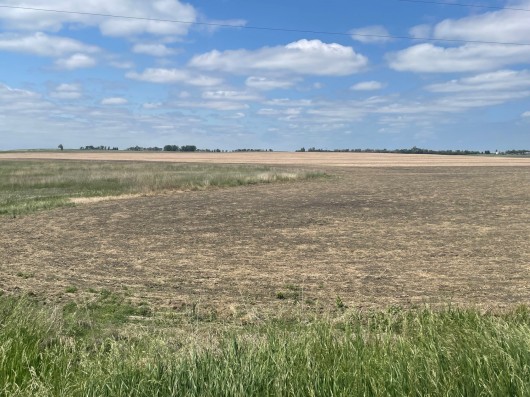
80 Ac showing small Wetland Area along Road
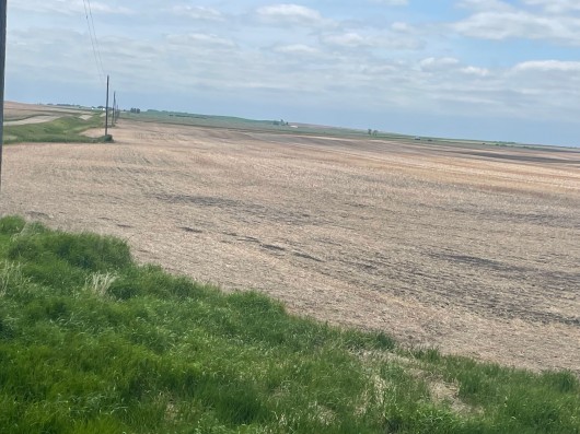
80 Ac NE corner looking South along Road
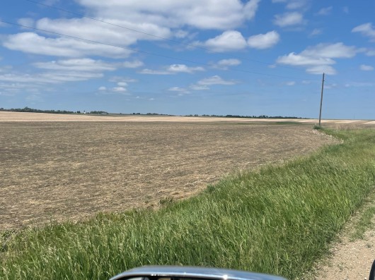
80 Ac SE corner looking North along Road
80 Ac SE corner looking West
80 Ac SE corner looking West across Subject.
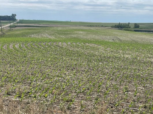
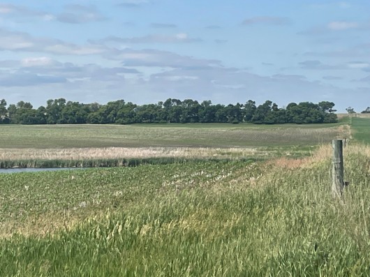
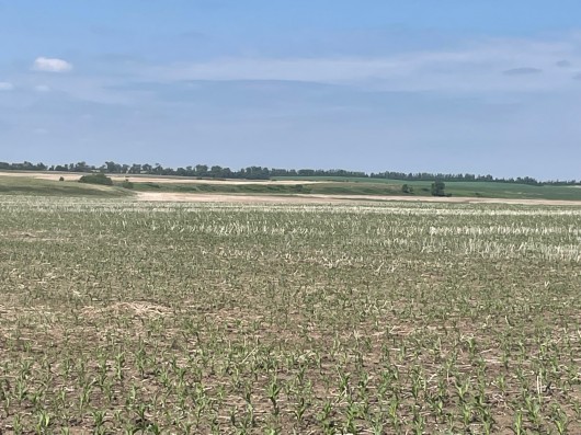
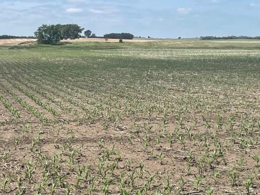
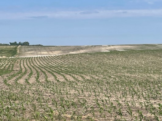
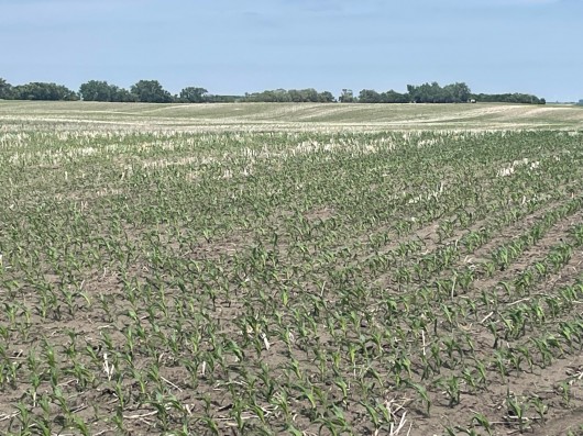
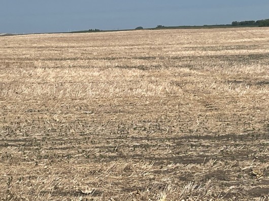
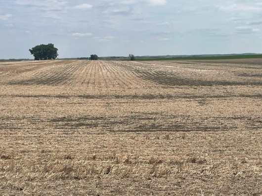
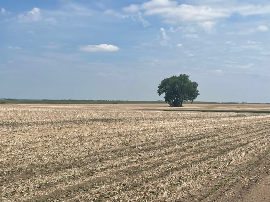
BULLOCK 160 AC NE1/4 SEC 34 OF 480 AC PARCEL
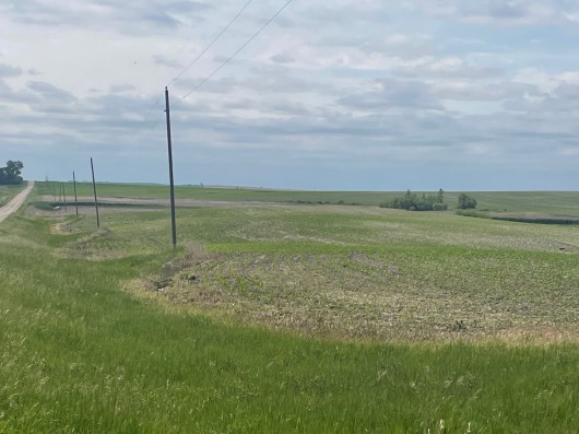
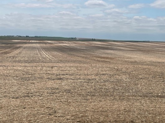
NE1/4 Sec 34; NE corner looking South along Road
NE1/4 Sec 34; NE corner looking S/SW
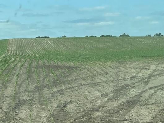
NE1/4 Sec 34; NE corner looking West/Large Cropland West of Trees
NE1/4 Sec 34; NE corner looking SW

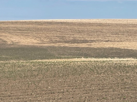
NE1/4 Sec34; From East Side looking West. Crop Field on West side not visible.
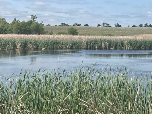
NE1/4 Sec 34; Recreational Wetlands
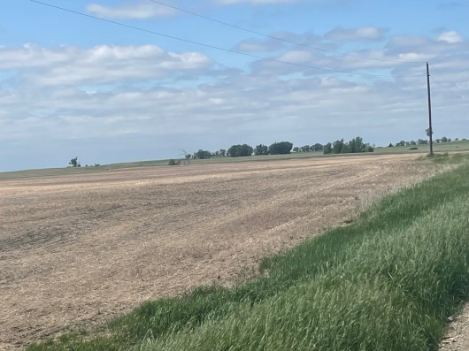
NE1/4 Sec 34; SE corner looking West across Subject
NE1/4 Sec 34; SE corner looking West, Another View.
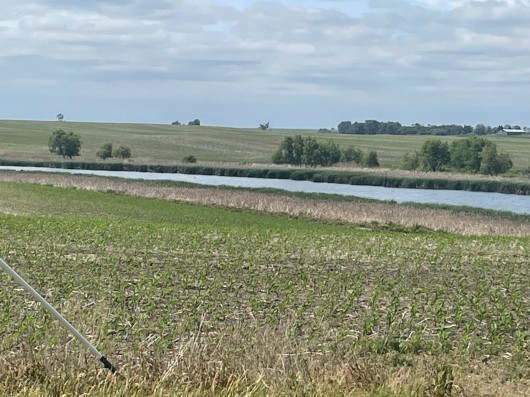
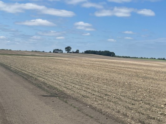
BULLOCK 320 AC S1/2 OF SEC 35 OF 480 AC PARCEL

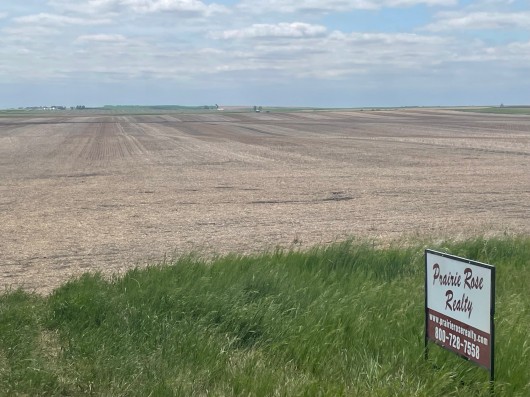
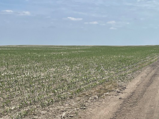
NW corner of S1/2 Sec 35 showing West side Cropland
NW Cropland of S1/2 Sec 35
View of Sec 35 Cropland on West side
View of Cropland on West side Sec 35 of 480 Ac
Cropland on West side of S1/2 Sec 35 of 480 Ac
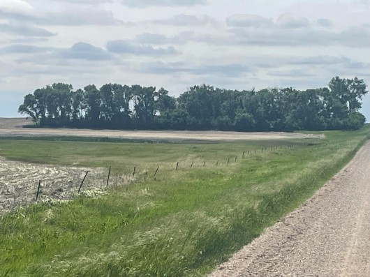
S1/2 Sec 35 NW corner looking to Building Site
Good NW Trees on Building Site Sec 35 of 480 Ac
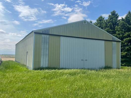
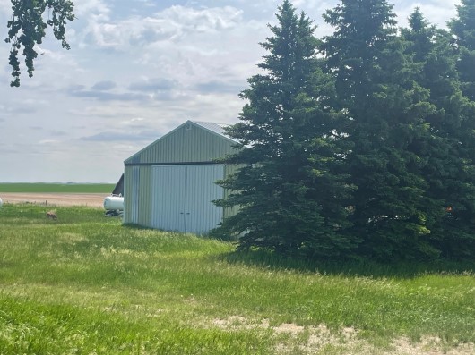
View of Shop at Building Site in Sec 35 on 480 Ac
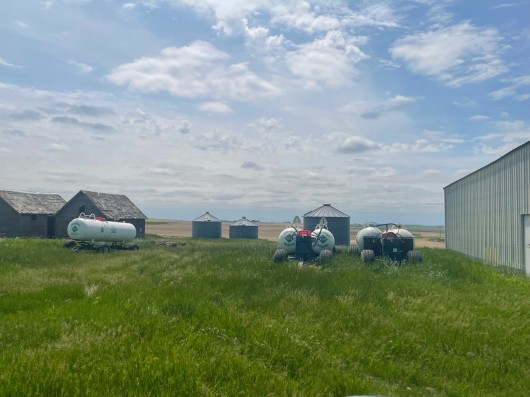
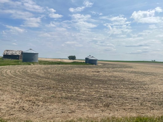
Old Outbuildings & Bins on Building Site Sec 35 on 480 Ac
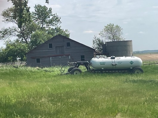
Another Old Building on Bldg. Site Sec 35 on 480 Ac
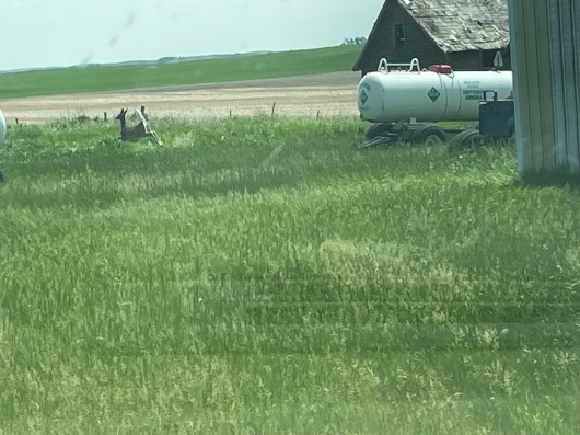
Surprised a Whitetail Deer on Building Site
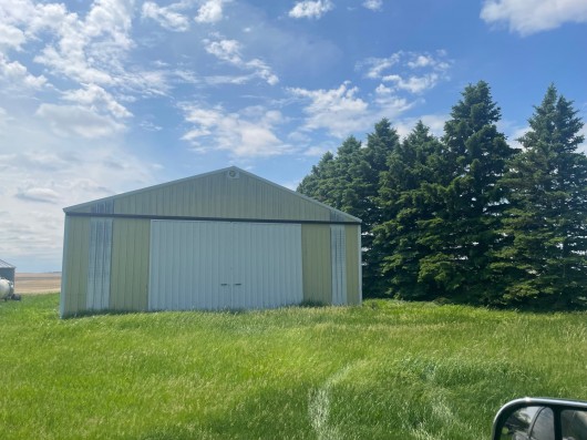
Another view of Shop on Building Site. Please DO NOT ENTER.
View of South side of Bldg Site from Road Sec 35 on 480 Ac
Sign identifying S1/2 Sec 35 on S side of Building Site
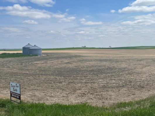
SW1/4 Sec 35 Cropland in 480 Ac
Cropland in SW1/4 Sec 35 in 480 Ac Parcel
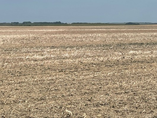
Cropland on S side along Minimum Maint Road
Cropland S1/2 Section 35
Cropland S1/2 Sec 35 of 480 Ac Parcel
Another view of Cropland in S1/2 Sec 35 of 480 Ac Parcel
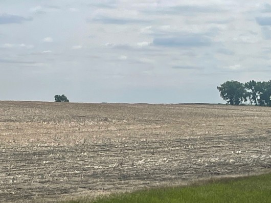
From E side of Field in Sec 35 looking W in 480 Ac Parcel
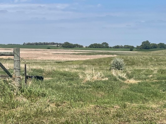
Pasture in SE1/4 Sec 35 of 480 Ac Parcel
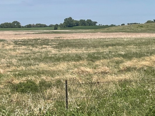
Good Stand of Grass in Pasture, SE1/4 Sec 35
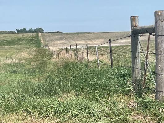
Good Fence between Pasture & East Crop Field in Sec 35
Nice View of Cropland in Sec 35 East side of 480 Ac Parcel
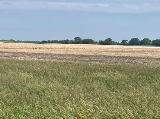
Crop and Hay Mix in Sec 35 of 480 Ac Parcel
Nice Rich Soils in Sec 35 of 480 Ac Parcel
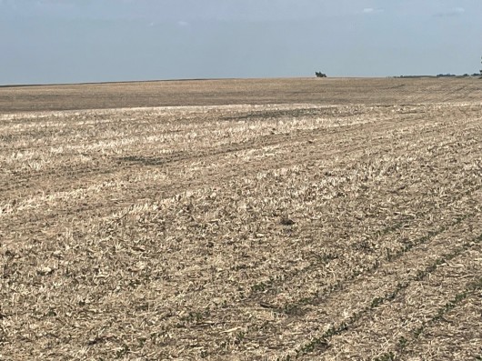
Expansive Acreage in Sec 35 Cropland in 480 Ac Parcel
A pleasure to photograph S1/2 Sec 35 Fields in 480 Ac Parcel
S1/2 Sec 35 Fields from South side in 480 Ac Parcel
Final View of S Side S1/2 Sec 35 in 480 Parcel
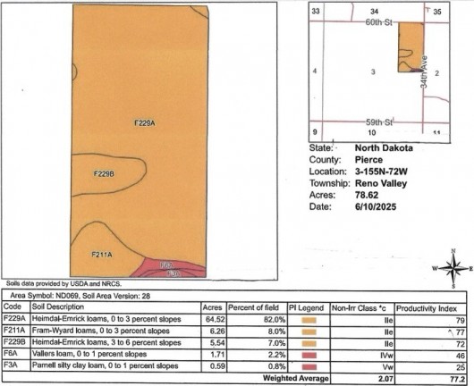
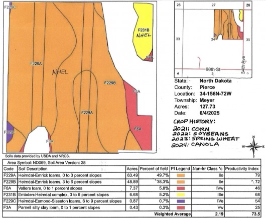
Soil Map & Legend on 80 Ac Parcel Sec 3, Tillable
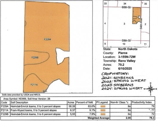
Soil Map & Legend 80 Ac Parcel Sec 3, Overall
Soil Map & Legend on 480 Ac Parcel Sec 34 & 35, Tillable
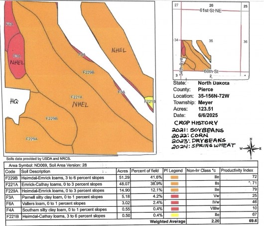
Soil Map & Legend on NE1/4 Sec 34 of 480 Parcel, Tillable
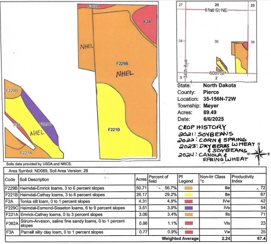
Soil Map & Legend SW1/4 Sec 35 of 480 Ac Parcel, Tillable
Soil Map & Legend on SE1/4 Sec 35 of 480 Ac Parcel, Tillable
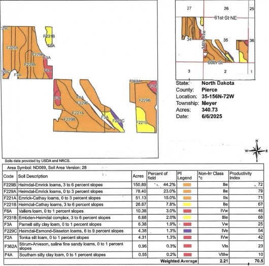
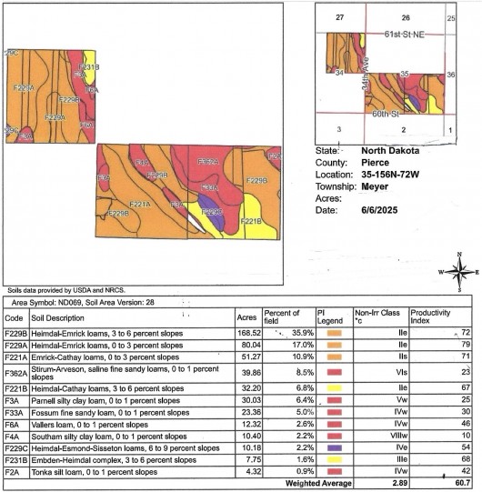
Soil Map & Legend of 480 Ac Parcel, Overall
Soil Map & Legend of Full 560 Acres Overall.
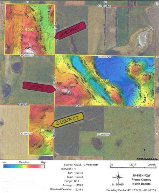
Topography Map of Full 560 Acres Outlined in Black
Hillshade Topography Map of Full 560 Acres Overall
If you are interested in this property, please contact Prairie Rose Realty Inc. at landbroker@bektel.com or call 701-475-2784 or toll free 800-728-7558.
Prairie Rose Realty Inc. is representing the Sellers in this transaction. All information has been gathered from sources considered reliable, however cannot be guaranteed by Prairie Rose Realty Inc.
|